Bay & Bayou Crossings in Tampa Bay
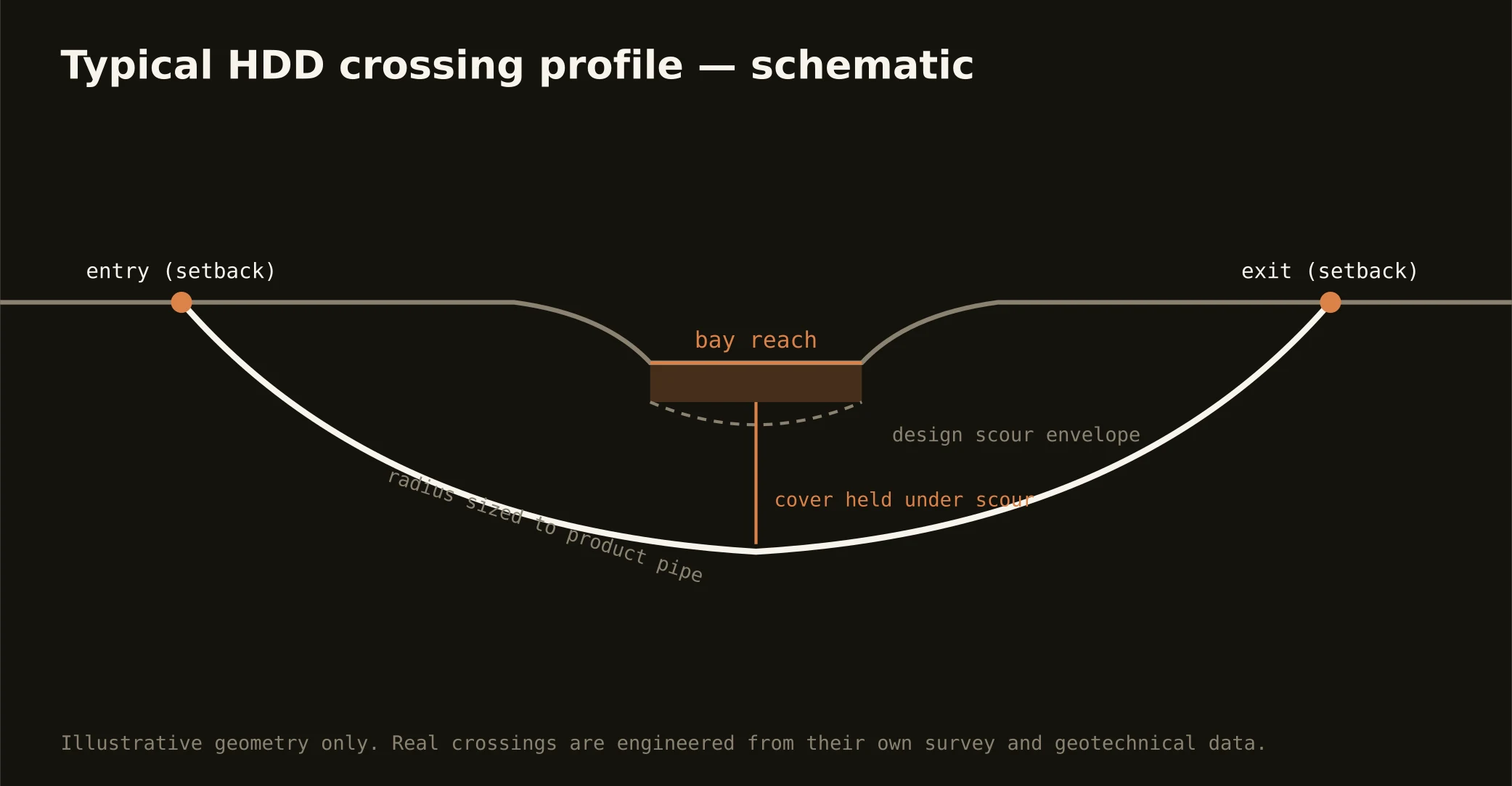
The bay is the metro's organizing fact, and its fingers — bayous, tidal creeks, and canals from Safety Harbor to the Alafia — cross utility routes everywhere. The bay-margin crossing is the signature local bore: setback entry and exit above the mangrove and seawall line, a profile holding cover under the channel or the design section, and an exit that leaves the shoreline exactly as the permit found it.
The water here is protected water — seagrass beds, shellfish areas, and an estuary the region spent decades restoring — so the authority stack runs deeper than the road map suggests: the water body's managing agencies and environmental review alongside the adjacent road or rail owner, with submerged-lands questions where the state's interest reaches. Our quotes name the full stack and carry its longest honest clock.
Technically, bay crossings concentrate the covered-karst problem under open water: saturated sands, clay that may or may not be where the section drawing hopes, and limestone voids below. Geotech drives the profile, containment stages on both shores, pressures run conservative, and the inadvertent-return plan is written before the pilot — over this estuary, that's not caution, it's citizenship.